
SSLR Revenue Maps Karnataka – Village Map Download & Survey Records
If you have ever tried to buy land in Karnataka, settle a property dispute, or simply find out where your ancestral plot ends and your neighbor’s begins, you have probably been told to check SSLR Revenue Maps Karnataka. But what does that really mean, and where do you start?
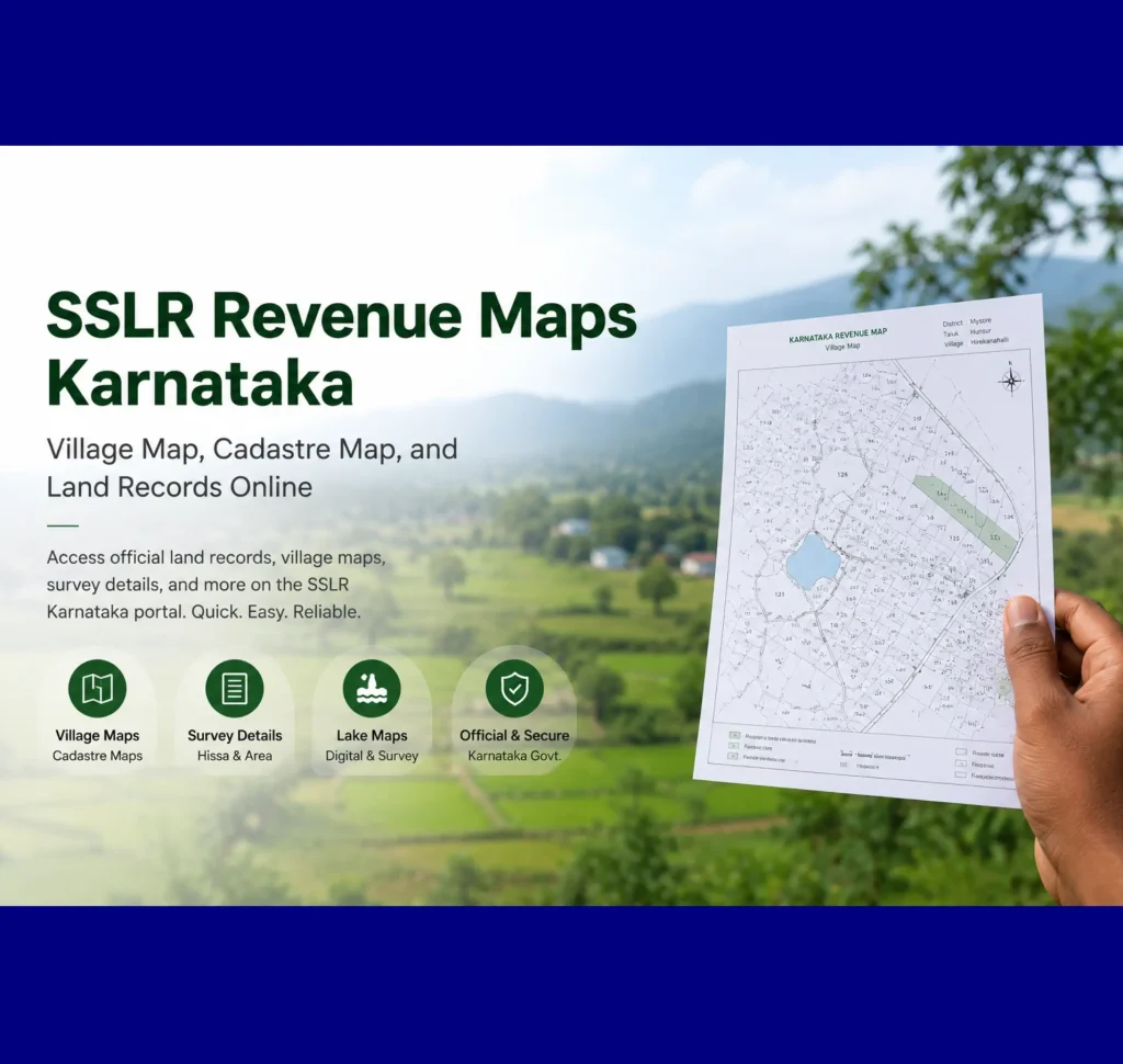
SSLR revenue maps are the official land records kept by the Karnataka government. They give you a visual picture of a piece of land — its exact location, its boundaries, who owns it, and how it is being used. Unlike a written document that describes land in words, a revenue map shows you all of this on paper (or on your screen), making it very easy to understand at a glance.
What are the SSLR revenue maps in Karnataka?
SSLR (Survey, Settlement and Land Records) is a Karnataka government department that measures land, records boundaries, and maintains official records. Revenue maps are visual land records that show survey numbers, plot boundaries, and village layouts in a clear mapped form.
SSLR (Survey, Settlement and Land Records) is a Karnataka government department that surveys land, records boundaries, and maintains official land data. Revenue maps are the visual output of this system, showing land parcels, survey numbers, and boundaries within villages and urban areas in map form.
These maps aren’t just useful for property buyers and sellers. Farmers rely on them to confirm survey boundaries before irrigation projects. Banks check them during loan approvals. Courts refer to them during land disputes. Government agencies use them for urban and rural planning. In short, if land is involved, the revenue map is almost certainly part of the conversation.
What does SSLR stand for?
SSLR stands for Survey, Settlement and Land Records – a department under the Karnataka Revenue Department that is quietly doing one of the most important jobs in the state: Measuring, recording, and maintaining data about every piece of land in Karnataka. You can access revenue maps on the land portal.
Types of Revenue Maps Available on the Bhumi Portal
The following maps are available on the portal, allowing you to easily check the land map.
Cadastre Map (Village Map)
You can check the desired village map of Karnataka, such as survey numbers, boundaries, relative position, and size.
BBMP Map
BBMP stands for Bruhat Bangalore Mahangara Palike. The map only shows land details for property locations in urban Bangalore areas and each ward. It only displays ward-wise city maps. Unlike other maps on the portal, the BBMP map can be downloaded as a .KMZ file, which you can view in Google Earth.
Lake Map – Digital
Karnataka has thousands of lakes. Now you can easily access the boundaries of each lake’s location.
Survey Details
You can check detailed survey data for specific land parcels — information such as the exact measurement, Hissa number, and survey date. You can examine a piece of land by entering your district, taluka, and village details. You can read article on Mojini V3
Lake Map – Survey
This map shows each lake more clearly.
Why SSLR Revenue Maps Matter
Types of Revenue Maps Available on the Bhumi Portal
Getting your revenue map in Karnataka no longer means going to a government office. The entire process is online, free, and takes only a few minutes. Here’s exactly how to do it.


